


KAINUU TRAIL 2026 DISTANCES, ROUTES AND MAPS
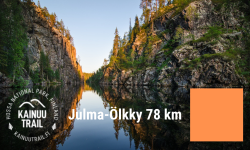
Julma-Ölkky 78 km
 |
UTMB Index: | 100K | 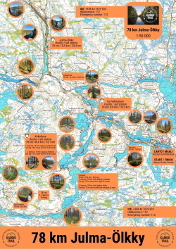 |
| ITRA-points: | 3 | ||
| Mountain points: | 4 | ||
| Total elevation: | +2730 m | ||
| Service points: | 6+finish | ||
| Route description: | |||
| Download gpx-file: | from here | ||
| Route map: | here (Trace De Trail -service) | ||
| Route map (basemap): |
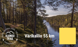
Värikallio 55 km
 |
UTMB Index: | 50K | 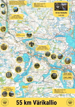 |
| ITRA points: | 2 | ||
| Mountain points: | 4 | ||
| Total elevation: | +1980 m | ||
| Service points: | 5+finish | ||
| Route description: | |||
| Download gpx-file: | from here | ||
| Route map: | here (Trace De Trail -service) | ||
| Route map (basemap): |
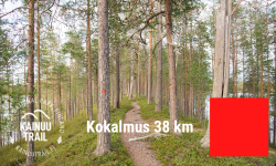
Kokalmus 38 km
 |
UTMB Index: | 20K | 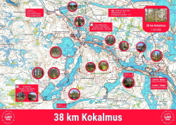 |
| ITRA points: | 2 | ||
| Mountain points: | 3 | ||
| Total elevation: | +1120 m | ||
| Service points: | 3+finish | ||
| Route description: | here | ||
| Download gpx-file: | from here | ||
| Route map: | here (Trace De Trail -service) | ||
| Route map (basemap): |
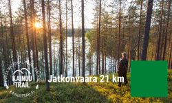
Jatkonvaara 21 km
 |
UTMB Index: | 20K | 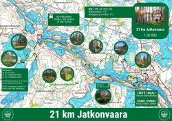 |
| ITRA points: | 1 | ||
| Mountain points: | 3 | ||
| Total elevation: | +620 m | ||
| Service points: | 1+finish | ||
| Route description: | here | ||
| Download gpx-file: | from here | ||
| Route map: | here (Trace De Trail -service) | ||
| Route map (basemap): |
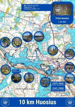
Huosius 10 km
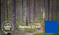 |
UTMB Index: | - |
|
| ITRA points: | 0 | ||
| Mountain points: | 3 | ||
| Total elevation: | +310 m | ||
| Service points: | Only the finish area's service point | ||
| Route description: | |||
| Download gpx-file: | from here | ||
| Route map: | here (Trace De Trail -service) | ||
| Route map (basemap): |